Universidad de Sevilla

Universidad de Sevilla

jueves, 7 de abril de 2011

Maps: Photovoltaic Potential


Maps: Annual Average Temperature


Maps: urban pressure over Maspalomas sand dunes

In green, the Natural Protected Area of Maspalomas

Encyclopedia of Canary Islands


This website is an online ecyclopedia about Canary Islands (only in spanish)

Photo album in facebook: sea of clouds

Some remote sensing images of the sea of couds in the facebook page: http://www.facebook.com/album.php?id=175539415832113&aid=60184

And a very short explanation of this phennomena here:

http://www.webtenerifeuk.co.uk/Sobre-Tenerife/Climatologia/MAR+DE+NUBES.htm?Lang=en

Weather forecasting

Worried about the clothes to wear in Canary Islands?

Check here the weather forecasting for 14 days in:

And for a more accuracy prediction (for just 3 days):


Cartographic links (wms servers)

Most commonly used websites:

http://www.grafcan.es/ : Government-owned corporation of Canary Islands in the field of Cartography

http://www.idecan.grafcan.es/idecan/es/inicio.html: Grafcan’s SDI (Spatial Data Infrastructure) Catalog

http://visor.grafcan.es/visorweb/: Web viewfinder for the whole Cartography that Grafcan offers. Español, Português, Français, English and Deutsch are the languages in which you can see the basic information

http://www.idee.es/show.do?to=pideep_pidee.ES Official spanish website for Spatial Data Infraestructure/SDI (Infraestructura de Datos Espaciales/IDE), Apart from the four official Spanish languages they offers Português, Français and English

http://atlastenerife.es/TeIDE2/Principal.do;jsessionid=0DDF256AD3683200BA0D0E7B23510E78 Official cartography website for the island of Tenerife. Cabildo of Tenerife

http://www.idegrancanaria.es/ Official cartography website for the island of Gran Canaria. Cabildo of Gran Canaria


Other interesting websites:

http://www.redmic.es/ : Government-owned corporation of Canary Islands in the field of marine Cartography, specially SDI

http://212.64.170.45:81/redmic/ Redmic’s viewfinder

Join us in Facebook


This is our facebook page with photos, information, contact and more. It is a NOT OFFICIAL website of the IP, and it has to be understood as a way to let the participants to contact each others.


http://www.facebook.com/pages/IP-CANARY-ISLANDS-2011/175539415832113

miércoles, 6 de abril de 2011

Acommodation in Tenerife


Schedule

ERASMUS IP 2011. CANARY ISLANDS. SCHEDULE:

20th April, Wednesday. Arrival at Tenerife Sur airport. Accommodation in Puerto de la Cruz and welcome dinner.

21st April, Thursday. Visit to Puerto de la Cruz: historic core and recent urban processes. Visit and meal in La Orotava. Guided visit to La Laguna.

22nd April, Friday. Visit to Teide National Park and Interpretation Centre. Route 4 (four hours).

23rd April, Saturday. Anaga Mountains: Interpretation Centre. Taganana – Benijo. Meal in San Andrés. Teresitas Beach.

24th April, Sunday. Santa Cruz de Tenerife – Agaete (overview of a bananas cultivation area and explanation of process of abandonment and urbanization experienced in the last fifteen years). Visit to Bandama’s volcanic caldera. Villa de Santa Brígida and San Mateo. Accommodation in Playa del Inglés.

25th April, Monday. Playa del Inglés (gradient tourist resort). Maspalomas sand dunes. Lunch. Melonera’s Coast.

26th April, Tuesday. Route along the southern midlands of the island: area of dams, including explanations about the geological nature, the hydropower project underway, the harshness life in the Island south side and on the tops as well as the formations of ‘Pinus canariensis’. Meal at Tamadaba’s pine forest.

27th April, Wednesday. Work in groups.

28th April, Thursday. Work in groups.

29th April, Friday. Work in groups.

30th April, Saturday. Work in groups. Two presentations in the afternoon.

1st May, Sunday. Presentations in the morning. Agaete – Santa Cruz de Tenerife. Accommodation in Puerto de la Cruz. Farewell dinner.

2nd May, Monday. Flight back home.

Photo album in facebook

http://www.facebook.com/#!/album.php?id=175539415832113&aid=59843

Detailed maps: Playa del Inglés

Land uses 1:50.000

Land uses 1:20.000


Detailed maps: Santa Brígida

Land uses 1:20.000 Land uses 1:10.000


Detailed maps: Puerto de la Cruz

Urban planning 1:10.000 Land uses

Detailed maps: La Laguna

Land uses 1:10.000


Land uses 1:20.000 Urban Planning 1:10.000

Urban Planning 1:20.000

Detailed maps: La Orotava


Land uses

Urban Planning

Maps: rural areas


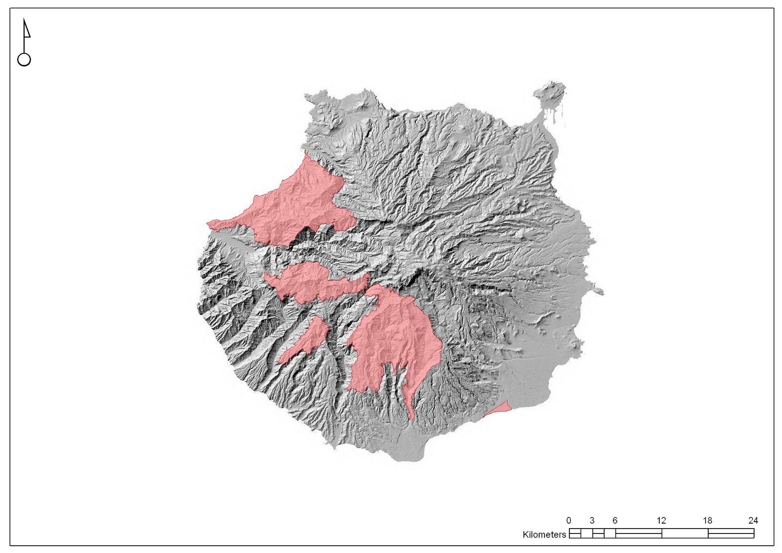
Maps: ZEPA (special protection areas for birds)


Maps: ZEC areas (zones of special conservation)


Maps: land uses


Maps: vegetation


Maps: solar incoming radiation


Maps: geology


Maps: cattle farming


Añadir vídeo

Maps: Natural Protected Areas


Maps: urban planning


Maps: land uses